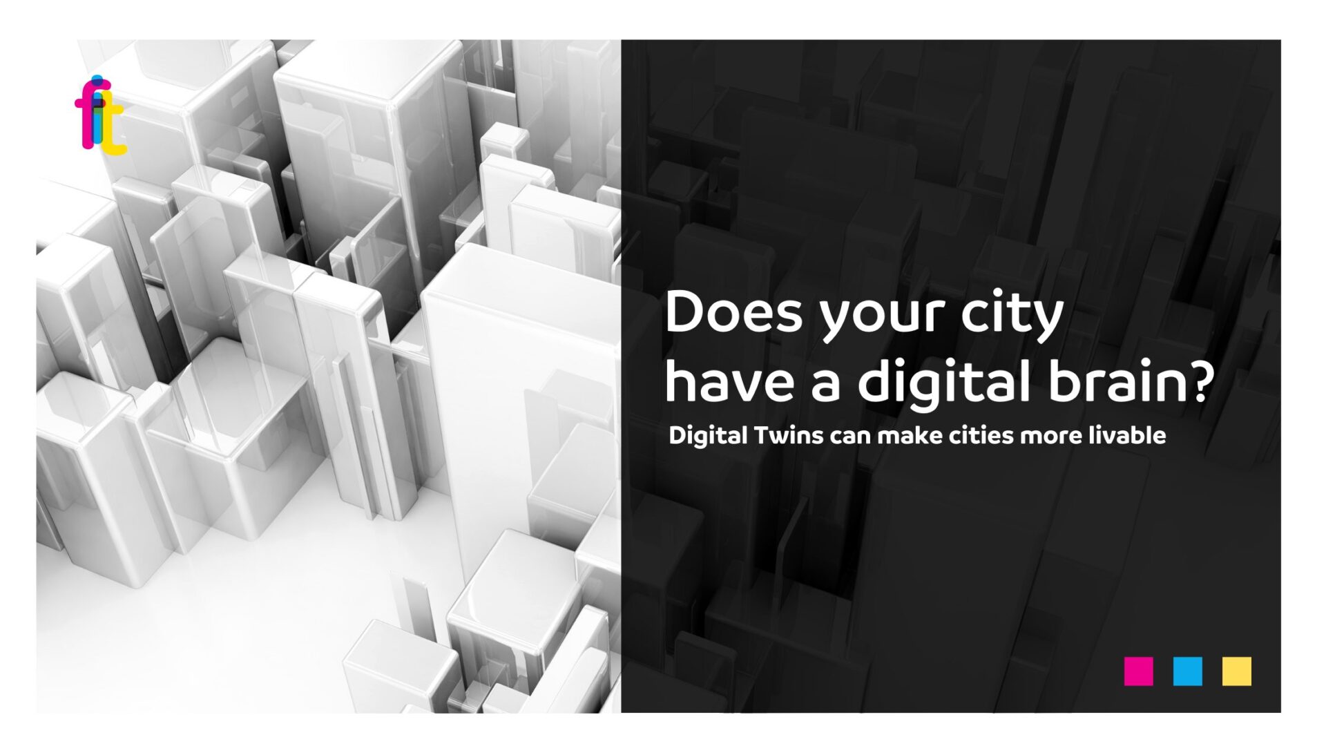
Does your city have a digital brain? How Digital Twins can make cities more accessible and livable
The Digital Twin is an advanced technology that creates a virtual replica of a real-world system, enabling detailed analysis of its functions and the prediction of future scenarios. Its primary goal is to support research through realistic simulations, providing valuable insights for planning and development.
When applied to cities, the Digital Twin allows urban centers of all sizes, from bustling metropolises to smaller towns, to build a highly detailed digital replica of their territory. This transformative tool turns urban spaces into intelligent ecosystems, capable of anticipating, analyzing, and optimizing various aspects of city life. From transportation and air quality to energy efficiency and emergency management, Digital Twins provide administrations with tools to govern cities with greater precision and adaptability, enhancing urban planning and public services in a dynamic, open, and inclusive way.
Several Italian cities have already embraced Digital Twin technology. One notable example is VERA (Virtualizing Emilia-Romagna Air Quality), a model developed by the Emilia-Romagna Region to assess the impact of traffic on air quality. By integrating data from climate models, mobility patterns, satellite imagery, and atmospheric sensors, VERA delivers a comprehensive and dynamic representation of the urban environment. This tool enables administrations to simulate and evaluate the effects of territorial policies in advance, facilitating data-driven decision-making.
The city of Bologna has signed a memorandum of understanding with the European Space Agency (ESA) to develop innovative applications leveraging space technology. These solutions will be instrumental in infrastructure planning and monitoring, urban and suburban green space conservation, climate change analysis, and biodiversity protection. Furthermore, the project aims to promote sustainable mobility and encourage the adoption of circular economy models.
Modena is also taking its first steps toward the creation of a Digital Twin, as part of its 2024 Digital Plan. In June, the city initiated data collection through sensors, aligning with its broader Smart City vision. The initiative involves building a 3D map of the city, integrating information on buildings, roads, green areas, and infrastructure networks. This digital model will be crucial in enhancing public services, optimizing urban management, and strengthening the city against extreme weather events, such as floods and heatwaves.
In Matera, the Digital Twin is used for the virtual mapping of the historic center, allowing authorities to monitor and plan urban interventions while minimizing the impact on ancient structures. By integrating sensors and digital tools, the project enhances the experience of both residents and visitors while preserving the city’s invaluable architectural heritage.
Florence is a prime example of how Digital Twins can enhance urban governance. By leveraging open-source technologies, georeferenced data, photogrammetric surveys, and extensive databases, the Digital Twin generates realistic digital scenarios to support informed decision-making across multiple domains. These include public green space management, mobility and traffic planning, UNESCO heritage conservation, energy communities, environmental sustainability, and Smart City initiatives.
Beyond urban governance, Florence’s Digital Twin plays a pivotal role in cultural heritage preservation. One remarkable application is the 3D model of the Basilica della SS. Annunziata, which enables real-time monitoring of the building’s condition and facilitates targeted and efficient restoration efforts.
Another critical area is urban microclimate analysis. The DANTE project (Data-Aware Efficient Models of the Urban Microclimate), developed by the Institute of Biorobotics at Scuola Superiore Sant’Anna in Pisa, employs Digital Twin technology to study complex environmental phenomena, such as heat and pollution dispersion. By integrating mathematical models, environmental parameters (temperature, humidity), machine learning, and data assimilation techniques, researchers can identify the best urban planning solutions to improve livability and address residents’ needs.
Globally, numerous cities have implemented urban Digital Twin projects, tailoring them to their unique territorial characteristics and governance frameworks.
In Finland, Helsinki has developed a 3D urban model, integrating tools for urban planning, public engagement, and innovative technology applications. In the United Kingdom, Cambridge has utilized Digital Twin simulations to analyze and optimize traffic patterns, aiming to reduce congestion and enhance transport infrastructure. Amsterdam has introduced its own Digital Twin to collect and integrate real-time data, providing valuable insights for urban planning and resource management.
In Australia, Melbourne is investing in Digital Twin technology to manage urban growth, transportation networks, and environmental policies more efficiently.
Looking ahead, the key challenge will be scaling up the adoption of Digital Twin technologies, ensuring an effective integration between digital innovation and urban governance. A smart city is not only connected but also capable of understanding, anticipating, and responding to the evolving needs of its citizens. The focus is not just on using technology to optimize traffic flows and infrastructure but also on creating more inclusive, accessible cities, reducing territorial and social inequalities, and improving overall urban livability.